
01
Flowering synchronisation
Male and female parent lines must shed pollen and become receptive in the same window. Growing degree days from on-plot air temperature are how agronomists track and adjust that timing.
TemperatureGDD
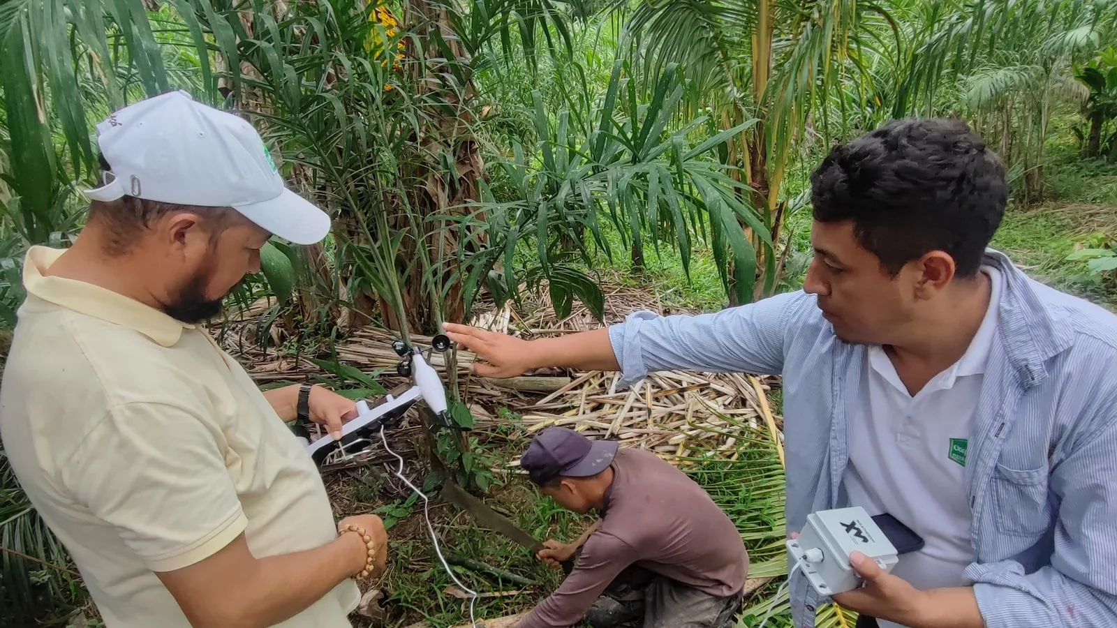
A solar-powered H2 weather station that sends its observations straight to low-Earth-orbit satellites. Built for remote production and research fields where cellular, Wi-Fi and LoRaWAN don't reach.
The problem
Hybrid seed production depends on distance. Parent lines are planted away from other fields of the same crop to protect genetic purity, which pushes production and breeding plots into remote valleys, highlands and frontier farmland, in Latin America and beyond, far from towns and far from cell towers.
The weather still decides the season. Without a station on the plot, teams rely on regional models, a distant public station, or a grower's notebook, and lose the local record exactly where the crop is most valuable.
Regional model
Grid cells kilometres wide miss valley heat and local storms.
Distant station
Different altitude, different rain, different season.
Data logger
Data arrives when someone drives out to collect it.
What it's for
Every variable below comes from the station's own sensors on the field, not from a model.
01
Male and female parent lines must shed pollen and become receptive in the same window. Growing degree days from on-plot air temperature are how agronomists track and adjust that timing.
02
Heat and dry air around flowering can cut seed set. A record from the plot itself shows whether a yield gap came from the season or from the field.
03
Wind speed and direction during pollen shed help assess drift risk from neighbouring fields and document the conditions behind a purity result.
04
Rainfall measured at the plot, not at a town station 60 km away, for irrigation scheduling and water-balance records.
05
Rain events and drying conditions ahead of harvest feed decisions on harvest timing and seed moisture.
06
An independent, time-stamped weather record per production field supports contract-grower reviews, trial reports and claims.
How it works
H2-LEO keeps the H2 sensing platform and replaces the terrestrial radio path with a direct LoRa-based link to Lacuna Space satellites.
01 · MEASURE
H2 sensor suite on the plot. Each observation is signed with device identity and timestamp at the edge.
02 · UPLINK
The station transmits small packets directly to a Lacuna Space satellite passing overhead.
03 · DOWNLINK
The satellite relays the data to a Lacuna ground station, which forwards it to WeatherXM.
04 · QUALIFY
WeatherXM Quality-of-Data checks run on every observation, with its satellite origin recorded.
05 · DELIVER
WeatherXM Pro Portal and API, next to data from your other sites. FACT can verify forecasts against it.
Satellite IoT carries small messages when a satellite is in view, so observations arrive in batches rather than as a live stream. It is not built for minute-by-minute alarms. Reporting cadence and delivery delay depend on location and are confirmed for your sites during pilot scoping.
Plan your network
Most production programs mix sites. Use satellite only where nothing else reaches, and shipping stations everywhere else. All of them report into the same WeatherXM Pro account.
Use when
Usable cellular signal at the plot
Data path
Station → solar cellular gateway → WeatherXM
View station → ShippingUse when
Plots within ~2–10 km of a farm base that has any internet link
Data path
Station → your own LoRaWAN gateway at the base → your network server
View station → LaunchingUse when
A cluster of plots with no internet, where local readout is enough
Data path
Station → multi-hop LoRa mesh → local console
View station → PilotUse when
Isolated plots with no cellular, no gateway and no base nearby
Data path
Station → LEO satellite → WeatherXM cloud and API
Start a pilot ↓Tip: a single LoRaWAN gateway at a farm office with satellite broadband can serve several H2 stations within radio range. That is often the fastest option for plot clusters today.
Engineering
Sensing is the shipping H2 platform. Satellite-link and service details are confirmed site by site before deployment.
Temperature
−40 to +80°C
±0.5 °C
Humidity
1–99% RH
±3 % RH
Pressure
540–1100hPa
±5 hPa
Wind speed
0–50m/s
±0.5 m/s below 5 m/s
Wind direction
0–360°
±8°
Rain rate
0–450mm/h
±7 %
Light
0–200klux
Illuminance
UV index
0–16UVI
±10 %
| Sensing | H2 8-in-1 suite: temperature, humidity, pressure, wind speed and direction, rain, light, UV |
|---|---|
| Connectivity | Direct LoRa-based link to Lacuna Space low-Earth-orbit satellites |
| Site infrastructure | None: no gateway, SIM, mains power or internet |
| Power | Solar-powered H2 platform |
| Data integrity | Signed at the edge; WeatherXM Quality-of-Data checks on arrival |
| Data access | WeatherXM Pro Portal and REST API; FACT forecast verification |
| Mounting | Pole mount with clear sky and sun exposure |
We don't publish these until they are validated in orbit and in the field. You get them for your specific sites before you commit.
Pilot program
H2-LEO is available through pilot projects for organizations with remote production, breeding or research sites. A pilot runs alongside your season and tells you, with your own data, whether satellite stations fit your program.
Share your sites
Region or approximate coordinates, crops and season window. Sensitive locations can stay approximate at this stage.
Feasibility check
We confirm satellite service, radio regulation and expected cadence for those locations.
Agree the data
Variables, reporting needs and how data reaches your agronomy or data platforms.
Deploy and evaluate
Stations go on the plots and the results show whether to scale.
Questions
No. H2-LEO is in development with Lacuna Space and available only through pilot projects. There is no retail price yet. If your site has cellular coverage or a farm base with internet within a few kilometres, a shipping station (Pulse LTE or H2 LoRaWAN) can cover it now.
Not in the way cellular is. A satellite IoT link delivers small messages when a satellite is in view, so observations arrive in batches rather than continuously. That suits daily agronomic decisions, degree-day tracking and season records. It is not the right tool for minute-by-minute alarms. Expected cadence and delivery delay for your latitude are confirmed during pilot scoping.
No gateway, SIM, mains power or internet connection at the site is part of the design. The station needs a pole with a clear view of the sky and the sun.
Observations enter the same WeatherXM pipeline as every other station: quality-of-data checks, then delivery through WeatherXM Pro (Portal and API). Agronomy platforms and data teams can pull it over the REST API next to data from your other sites.
Raise it during scoping. Production and breeding sites are often commercially sensitive, so data visibility, sharing and location precision are part of the pilot terms we agree with you.
Satellite service availability and radio regulation differ by country, so we check each pilot location individually before committing. Send us the region or approximate coordinates of your sites.
Tell us where your remote sites are and what you need to measure. We'll tell you whether H2-LEO fits your next season.