
Agriculture & Insurance
Field weather and weather risk. Why local observations change the answer for crop management, precision agronomy, and parametric insurance contracts.
Hyperlocal Weather Across Latin America (LATAM)
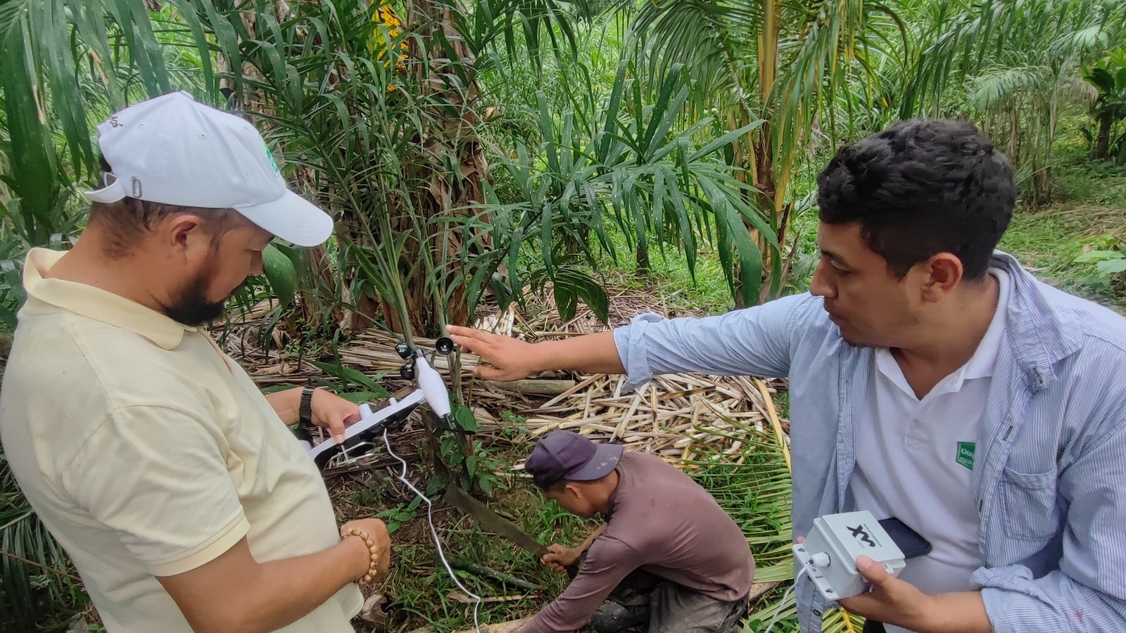
Measure the field, not the regional proxy.
Across agricultural basins in Latin America, elevation changes, canopy density and local exposure create microclimates that regional models fail to resolve. Frost pockets, rainfall differences and localized heat can vary materially within the same farming area.
Regional forecasts describe a broad area, while growers need rain, humidity, temperature and wind conditions at the parcel itself.
WeatherXM stations were deployed directly across farmland and groves to capture local conditions without depending on grid power or local Wi-Fi.
Direct observations support agronomy decisions, frost and heat monitoring, and localized evidence for weather-risk and insurance workflows.
100+ Stations Deployed Across Kenya
Hyperlocal ground truth for 12,000+ daily farmers.
During the 1st Targeted Rollouts, deployment partner BLCK IoT deployed 100+ stations across diverse agricultural zones: flower farms in Naivasha, dairy operations, and subsistence crops.
Smallholder farmers, dairy operators, and Naivasha commercial flower growers lacked parcel-level rain and evapotranspiration data. Regional forecasts averaged across 20–30 km grid cells missed convective storm cells.
WeatherXM and BLCK IoT teamed up to deploy 100+ weather stations across Kenya in just seven weeks, connecting farms, county governments, and insurers to real-time, verifiable data.
Local farmers used hyper-local WeatherXM alerts to optimize irrigation and frost mitigation, driving verified gains: +18% yield increases, 22% water savings, and a 30% improvement in flood-modeling accuracy.
Mitigating Basis Risk in Parametric Weather Insurance
In parametric weather contracts, basis risk—the gap between what a regional index reports and what happened at the insured location—is the defining flaw. An airport sensor 30 km away cannot verify whether a localized frost or hailstorm wiped out a crop parcel.
WeatherXM stations capture cryptographically signed, localized physical ground truth. When rainfall drops below an agronomic threshold or extreme heat exceeds limits, payouts trigger automatically without subjective claims adjusters.
Why Regional Weather Misses In-Field Reality
Why microclimate observations change the math for agronomic yield protection and insurance settlement.
Inversion & Cold-Air Drainage
Cold air sinks into low depressions, creating freezing conditions while ridge stations read 4°C above zero. Field-level sensing catches radiation freeze timing to trigger frost mitigation fans.
Convective Rain Cell Tracking
Summer convective showers can drop 30 mm of precipitation on one side of a farm while leaving the other dry. 0.1mm resolution bucket telemetry provides indisputable parcel-level ground truth.
Wind Speed & Gust Windows
Spray decisions depend on product labels and site conditions. Local wind observations help operators assess whether conditions are suitable at the field when an application is planned.
Ready to deploy in-field sensing or parametric risk indices?
Connect with our team to discuss localized agricultural weather deployments, automated parametric insurance design, or regional mesonet rollouts.